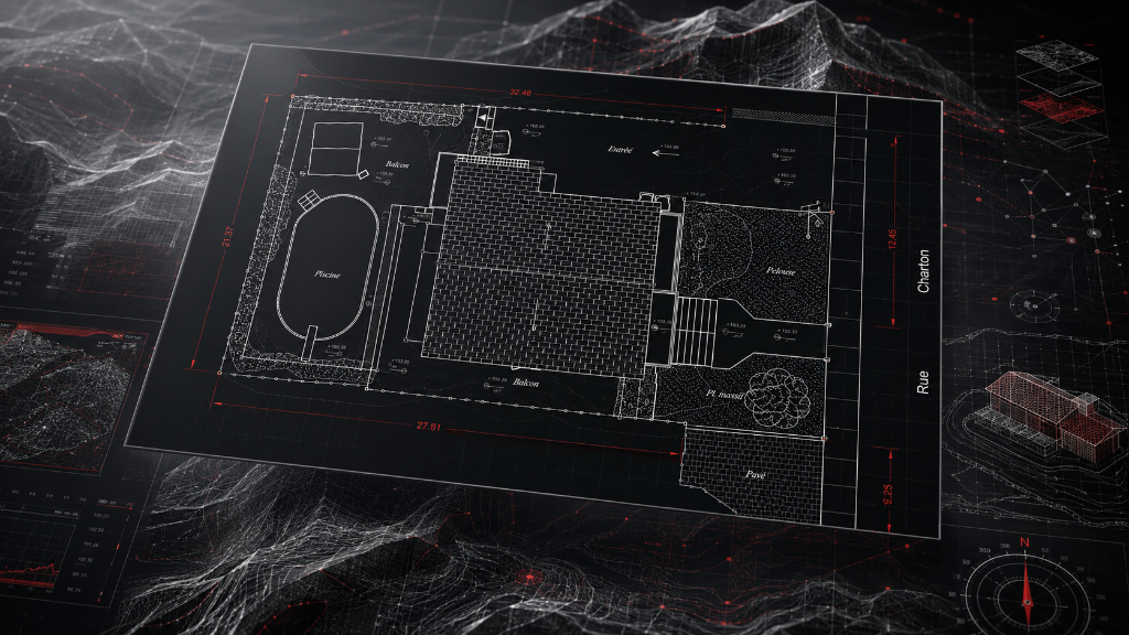
Complete Topographic Drafting
From raw survey data to finished construction documents
Contour Mapping
Professional contour lines and elevation data
Site Plans
Detailed site layout with all features
Boundary Plotting
Property lines and legal boundaries
Multi-Layer CAD
Organized drawing layers for easy editing
Cross Sections
Terrain profiles and cut sections
Survey Reports
Professional documentation packages
What We Need From You
Simple data requirements
Survey Data
Raw field data, point clouds, or coordinate files
Drawing Specs
Contour intervals, scale, and required details
Standards
Your CAD standards or we'll use industry best practices
Your Deliverables
Professional topographic drawings ready for planning, permitting, and construction.
Our Specialized Services
Expert topographic drafting and network mapping solutions
2D-3D Topographic Plans
Detailed topographic plans combining 2D and 3D data for comprehensive site visualization. Perfect for site development, infrastructure planning, and construction documentation.
Applications:
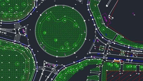
2D-3D Topographic Plan of a Roundabout
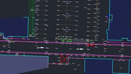
2D-3D Topographic Plan of a Parking Lot
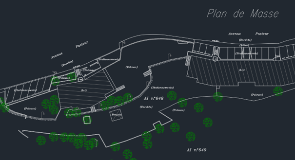
Site Plan
Network Synthesis Plans (PSR)
Creation of Network Synthesis Plans in urban areas. From DT/DICT receipts, our teams perform georeferencing and digitalization of networks on a single plan. Each network is integrated with its category, type, precision class, and diameter.
Networks Processed:
- Wastewater networks
- Stormwater networks
- Public lighting
Work Steps:
- Transform plans into GIS data
- Verify transformation results
- Complete attribute data
- Verify and correct anomalies
Deliverables:
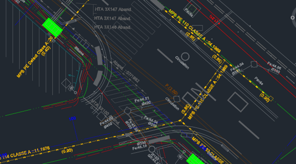
PSR Network Plan - Example 1
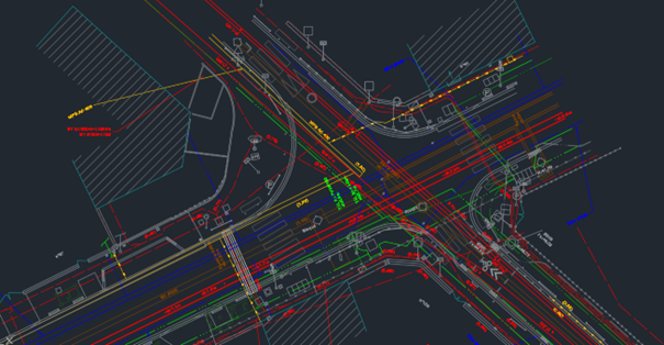
PSR Network Plan - Example 2
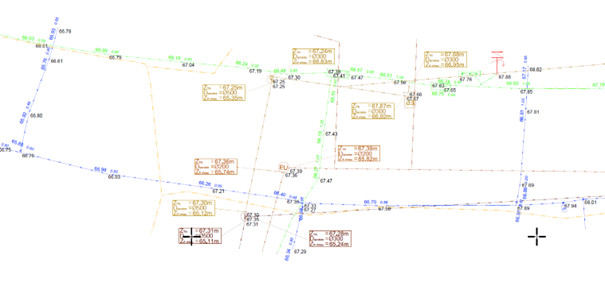
PSR Network Plan - Example 3
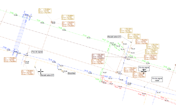
PSR Network Plan - Example 4
GIS/CAD Standard Integration
Seamless conversion and integration between GIS and CAD formats. We ensure your spatial data maintains accuracy and compatibility across different software platforms and industry standards.
Supported Formats:
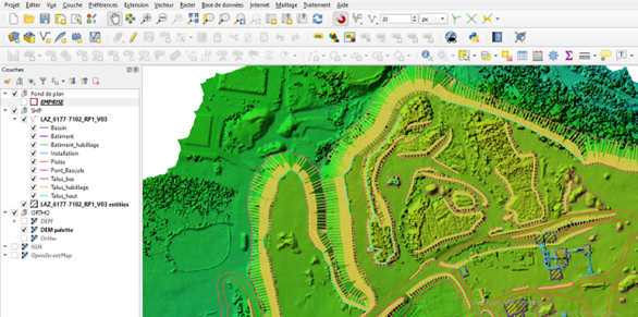
GIS/CAD Integration - Example 1
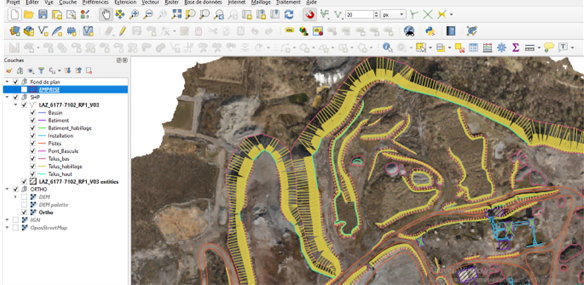
GIS/CAD Integration - Example 2
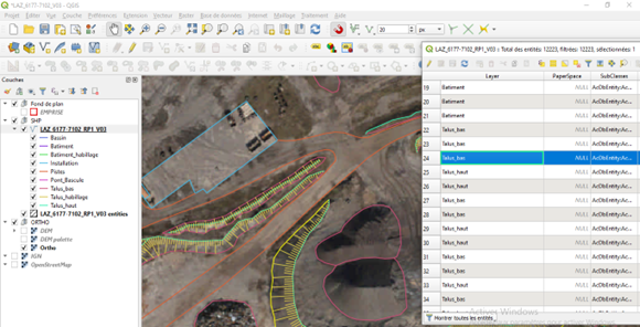
GIS/CAD Integration - Example 3
Carto 200 under Atlas (GRDF, ENEDIS)
Specialized cartographic services for gas and electricity network operators following Carto200 standards. We provide comprehensive plan management, georeferencing, and compliance with V2 and V3 specifications.
Services Offered:
- Mass georeferencing of plans and conversion to V2, V3 standards
- PGOC Enedis, GRDF following network detection or open trench survey and updates
Technical Capabilities:
- Cutting and pagination of Carto200 V2 and V3 standard plans
- Electrical detection reporting, V3 frame updates and V2 folios