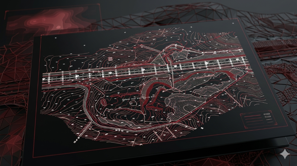
Complete Data Processing Services
Professional CAD drafting and terrain modeling from your survey data
UAV/Drone Data Processing
Process aerial photogrammetry for terrain models
Survey Data Integration
GPS & RTK data processing and verification
Contour Mapping
Create detailed elevation maps and cross-sections
Digital Terrain Models
Generate high-resolution DTM and DSM
Boundary Plans
Draft property lines and cadastral drawings
Volume Calculations
Cut/fill analysis from survey data
Our Workflow
From data receipt to final delivery in six streamlined steps
01
Data Receipt
Receive survey data from your team
02
Quality Check
Verify data completeness and accuracy
03
Requirements Review
Clarify deliverable specifications
04
Data Processing
Process point clouds and survey data
05
CAD Production
Create topographic drawings and models
06
Final Delivery
Provide drawings, models, and GIS data
Applications Across Industries
Our topographic drafting services support surveyors and professionals across various industries.
Site development planning
Infrastructure design
Environmental studies
Mining and quarry operations
Floodplain mapping
Agricultural planning
Solar farm layout
Transmission line routing
1000+
Plans Produced
5+ Years
Experience
24-48h*
Typical Turnaround
100%
Quality Checked
*Depending on scope and availability