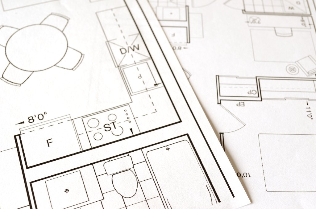
Professional CAD Drafting Services
Transform your scan data into construction-ready drawings
2D CAD Drawings
Precise floor plans, elevations, and sections
Multi-Layer Organization
Industry-standard layering conventions
Accurate Dimensioning
Detailed measurements and annotations
As-Built Documentation
Existing condition drawings from point cloud data
AutoCAD Native
DWG format compatible with all CAD software
Quality Assurance
Verified accuracy against source data
What We Need From You
Simple requirements to get started
1
Point Cloud Data
Your scan data in common formats (RCP, RCS, E57, LAS, etc.)
2
Project Requirements
Drawing types needed, scale, and level of detail
3
CAD Standards
Your preferred layering and naming conventions
What You'll Receive
Complete documentation packages ready for construction or permit submission.
Floor plans with dimensions
Building elevations
Cross sections
Detail drawings
Site plans
Reflected ceiling plans
PDF documentation sets
Layer-organized DWG files
5+
Years Experience
1000+
Drawings Created
48hrs*
Typical Turnaround
100%
Native DWG
*Turnaround time may vary depending on project complexity and file size.